Nagaland
| Official Name | Nagaland |
|---|---|
| Administration of Nagaland | |
| Status | State |
| Statehood / Establishment Date | 1 December 1963 |
| Zone | North-Eastern |
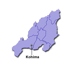
| Capital | Kohima |
| Districts (or Administrative Regions) | 12 |
| Government Website | nagaland.gov.in |
| Demography of Nagaland | |
| Largest Cities | Dimapur |
| Population as per 2011 Census | 1,978,502 [Decadal Growth = -0.6% (from 2001 - 2011)] |
| Population Density | 119 persons / km2 |
| Official Languages | English |
| Other Languages | Hindi |
| Sex Ratio as per 2011 Census | 931 ♂ / 1000 ♀ |
| Literacy Rate as per 2011 Census | 79.6% Male = 82.8% and Female = 76.1% |
| Geography of Nagaland | |
| Total Area | 16,579 km2 |
| Neighbouring States | Nagaland touches the borders of Manipur, Assam, Arunachal Pradesh (total 3 states/UTs). |
| Neighbouring Countries | Border of Nagaland also touches the international border of Myanmar (total 1 countries). |
| International Border Length | 215 km |
| Coastal Border Length | Nagaland is not a coastal state/UT. |
| State Symbols of Nagaland | |
| State Animal | Gayal / Mithun (Bos frontalis) |
| State Bird | Blyth's tragopan (Tragopan blythii) |
| State Tree | Alder (Alnus nepalensis) |
| State Flower | Rhododendron (Rhododendron arboreum) |
| Codes for Nagaland | |
| ISO-3166-2-IN Code | IN-NL |
| Vehicle Code | NL |