Manipur
| Official Name | Manipur |
|---|---|
| Administration of Manipur | |
| Status | State |
| Statehood / Establishment Date | 21 January 1972 |
| Zone | North-Eastern |
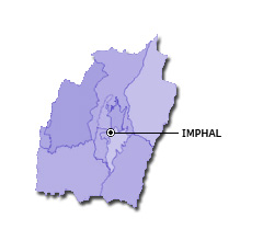
| Capital | Imphal |
| Districts (or Administrative Regions) | 16 |
| Government Website | manipur.gov.in |
| Demography of Manipur | |
| Largest Cities | Imphal |
| Population as per 2011 Census | 2,855,794 [Decadal Growth = 18.6% (from 2001 - 2011)] |
| Population Density | 122 persons / km2 |
| Official Languages | Meitei |
| Other Languages | English |
| Sex Ratio as per 2011 Census | 987 ♂ / 1000 ♀ |
| Literacy Rate as per 2011 Census | 79.2% Male = 86.1% and Female = 72.4% |
| Geography of Manipur | |
| Total Area | 22,347 km2 |
| Neighbouring States | Manipur touches the borders of Mizoram, Assam, Nagalang (total 3 states/UTs). |
| Neighbouring Countries | Border of Manipur also touches the international border of Myanmar (total 1 countries). |
| International Border Length | 398 km |
| Coastal Border Length | Manipur is not a coastal state/UT. |
| State Symbols of Manipur | |
| State Animal | Sangai (Cervus eldi eldi) |
| State Bird | Mrs. Hume's pheasant (Syrmaticus humiae) |
| State Tree | Toona (Toona ciliata) |
| State Flower | Siroi lily (Lilium mackliniae) |
| Codes for Manipur | |
| ISO-3166-2-IN Code | IN-MN |
| Vehicle Code | MN |