Mizoram
| Official Name | Mizoram |
|---|---|
| Administration of Mizoram | |
| Status | State |
| Statehood / Establishment Date | 20 February 1987 |
| Zone | North-Eastern |
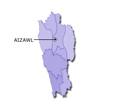
| Capital | Aizawl |
| Districts (or Administrative Regions) | 8 |
| Government Website | mizoram.gov.in |
| Demography of Mizoram | |
| Largest Cities | Aizwal |
| Population as per 2011 Census | 1,097,206 [Decadal Growth = 23.5% (from 2001 - 2011)] |
| Population Density | 52 persons / km2 |
| Official Languages | English, Hindi and Mizo |
| Other Languages | |
| Sex Ratio as per 2011 Census | 975 ♂ / 1000 ♀ |
| Literacy Rate as per 2011 Census | 91.3% Male = 93.3% and Female = 89.3% |
| Geography of Mizoram | |
| Total Area | 21,081 km2 |
| Neighbouring States | Mizoram touches the borders of Tripura, Assam, Manipur (total 3 states/UTs). |
| Neighbouring Countries | Border of Mizoram also touches the international border of Bangladesh, Myanmar (total 2 countries). |
| International Border Length | 828 km |
| Coastal Border Length | Mizoram is not a coastal state/UT. |
| State Symbols of Mizoram | |
| State Animal | Himalayan serow (Capricornis thar) |
| State Bird | Mrs. Hume's pheasant (Syrmaticus humiae) |
| State Tree | Iron wood (Mesua ferrea) |
| State Flower | Red Vanda (Renanthera imschootiana) |
| Codes for Mizoram | |
| ISO-3166-2-IN Code | IN-MZ |
| Vehicle Code | MZ |